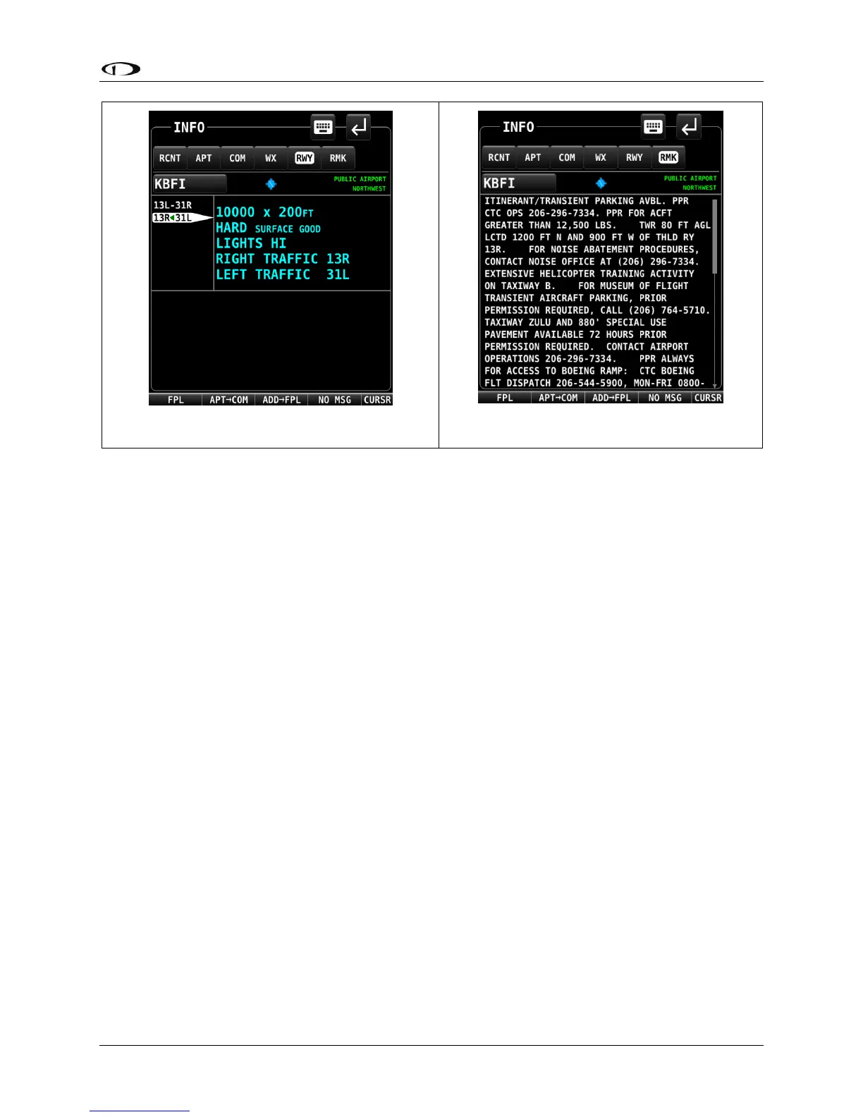
Information available for different types of facilities includes:
• Name
• Type (public/military/private*/VOR/NDB/etc.)
• Identifier
• Current distance/bearing to facility
• Region
• Field elevation
• Parking availability*
• Communications and Localizer frequencies
• ATIS/AWOS Frequencies
• Traffic pattern altitude/direction*
• Runway information, including pattern directions* and surface type*
• Lighting type*
• Parking/Fuel availability*
• Remarks*
Note that not all information is available for all facility types and that the depth of information
may differ from airport to airport. Typically, larger public airports have the most information
available. Small private airports may have very little or no information available.
* These items are not in Jeppesen databases.