Synthetic Vision depictions of terrain, runways, obstacles, and other information
are meant as informational aids only. These depictions should not be used as the
primary means for obtaining situational awareness of these features in flight.
When valid GPS data is available, and high resolution terrain databases are loaded for the
appropriate region, SkyView HDX’s PFD features integrated Synthetic Vision. Synthetic Vision
displays the terrain directly ahead of the aircraft. Terrain is graphically represented in sectional
chart color variations which represent topographical elevations and water features. Terrain is
textured with a subtle checkerboard pattern to aid in identifying aircraft movement.
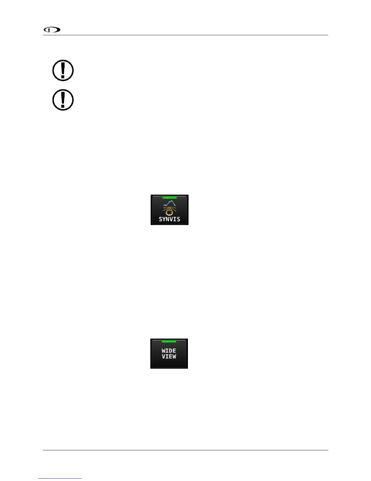
As shown in Figure 60, display of Synthetic Vision may be enabled or disabled at any time by
selecting MENU (Button 6) on the Main Menu, then selecting the PFD TOOLS icon, then the
SYNVIS icon.
SkyView offers the ability to show the PFD and/or Synthetic Vision in “Wide View” which
displays additional peripheral view. When Synthetic Vision is disabled (SYNVIS icon not lit),
enabling or disabling WIDE VIEW changes the perspective of the PFD. When Synthetic Vision is
enabled, enabling or disabling WIDE VIEW changes the perspective of both Synthetic Vision and
the PFD.
Similar to using a wide angle camera lens to show more of the peripheral view, when WIDE
VIEW is enabled objects shown in Synthetic Vision and the PFD will also appear farther away.
As shown in Figure 61, display of WIDE VIEW may be enabled or disabled at any time by pushing
the MENU button on the Main Menu, then tapping the PFD TOOLS icon, then the WIDE VIEW
icon.
Terrain Alerting can provide additional situational awareness of terrain. Terrain that is relatively
close to the aircraft that SkyView HDX considers an immediate threat is colored Red. Terrain
that is relatively close to the aircraft that SkyView HDX considers potentially a threat is colored
Yellow. See “Obstacles on Synthetic Vision” later in this section for an explanation of the