4-1
4. POINTS, BOUNDARIES
4.1 About Points & Event Marks
In navigation terminology, a point is any location you mark on the chart plotter, radar,
sounder or weather display. A point can be a fishing spot, reference point or other im-
portant location. You can use a point you have entered to set as a destination.
This unit has 30,000 points (including event marks and MOB marks) into which you
can enter position information.
A point is used to mark a location. When you enter a point, it is put on the screen with
the default point icon (see section 4.5.1), as shown in the figure below.
The event mark marks current position. Like with a point, you can use an event mark
to set a destination.
For the TZT12F, the event mark is entered with the
EVENT/MOB key, and is marked on the screen with the
default event mark icon. See section 4.5.2.
A point or event mark is saved to the [Points] list with po-
sition, color, shape, etc. In the default setting, all points
and event marks are shown on the display
You can edit points and event marks on the screen and
from the [Points] list.
Note 1: Event marks are handled the same as points.
Note 2: Points can be shared with other NavNet TZtouch3 units via LAN. Data is
shared automatically; no operation is required.
Default point icon
(chart plotter, radar and weather displays
(black circle in yellow circle)
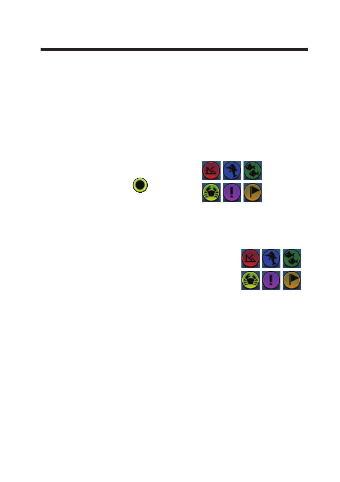
Default point icons for
fish fish finder display
 Loading...