8. MULTI BEAM SONAR DFF-3D
8-15
8.5.10 How to show or hide the depth and frequency indications
You can show or hide the depth and TX frequency at the bottom left corner of the
screen.
1. Open the layers menu.
2. Select [ON] or [OFF] for [Depth Information].
8.5.11 Availability of points and event marks registration, and go to a
point
For how to register points and event marks, see section 4.2.
The table below shows function availability according to latitude/longitude, heading
data presence or absence. If there is no latitude/longitude data, none of the functions
below are available.
Latitude/Longitude / Heading data: YES
Latitude/Longitude: YES, Heading data: NO
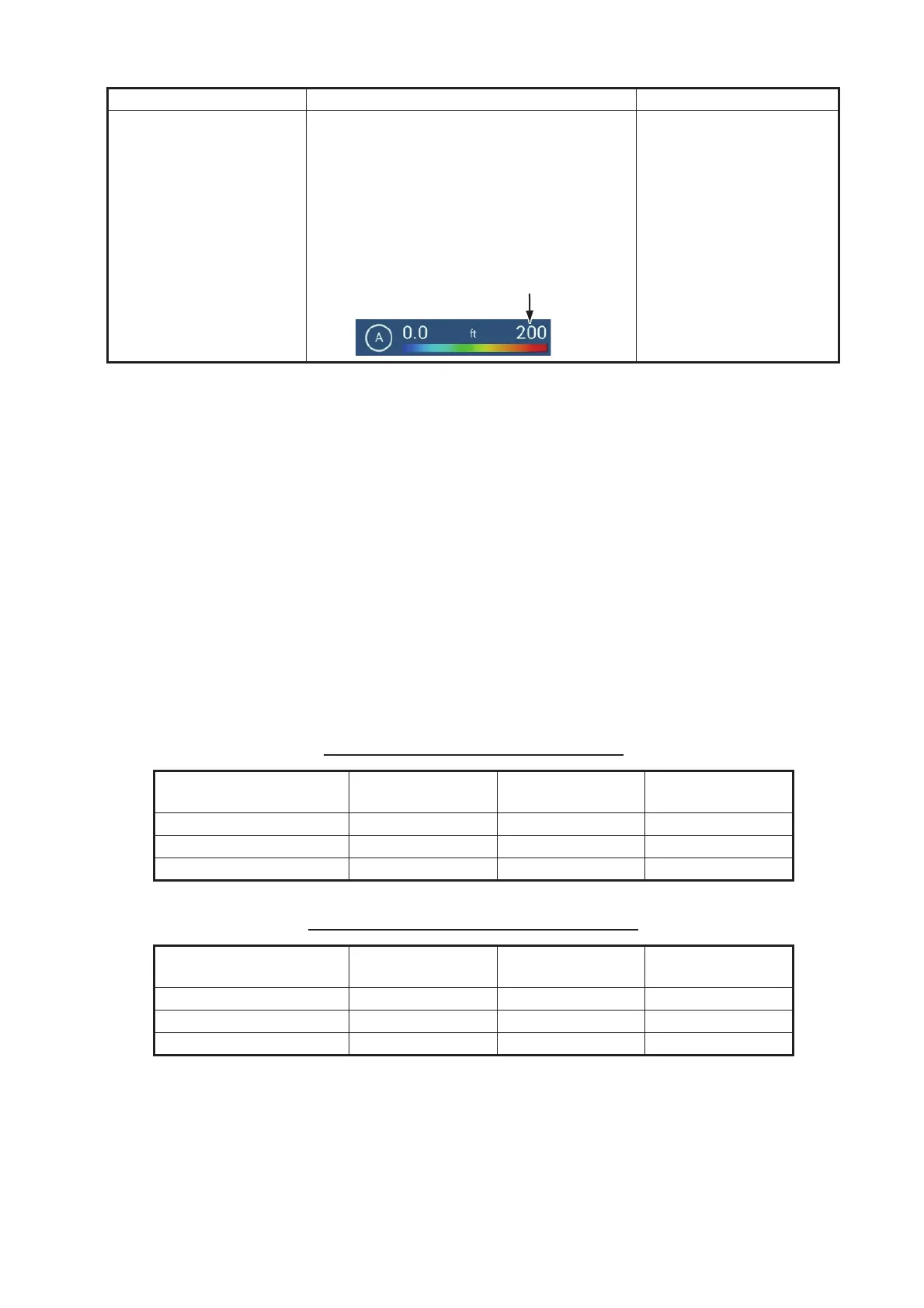
[Maximum Value] Use the software keyboard to set the deep-
est depth to use. [Auto Fish Shading] must
be [OFF] to enter depth.
Alternatively, tap the maximum value indica-
tion on the color bar scale to show the slider
bar. Drag the slider bar to set. Tap [Done] to
finish.
1 to 3937 (ft)
Item Fish Seabed
Other than Fish
or Seabed
Point registration Yes Yes No
Go to point Yes Yes No
Event mark registration No No Yes
Item Fish Seabed
Other than Fish
or Seabed
Point registration No No No
Go to point No No No
Event mark registration No No Yes
Menu item Description Setting options
[Maximum Value]
Deepest depth
 Loading...