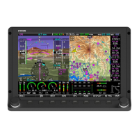
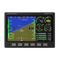
SV-MAP-270 Navigation Mapping License Purchase and Setup
SkyView System Installation Guide - Revision AA 6-7
NO HI-RES TERRAIN
This occurs most often outside North America as SkyView is (typically) shipped from the factory
with a high resolution terrain database for North America. To correct this issue, install the high
resolution terrain database for your region.
If you have difficulty downloading the very large regional high-resolution terrain
databases using a web browser, particularly using a slow Internet connection,
alternatively, you may use an “FTP” client, such as FileZilla, available at
https://filezilla-project.org.
Host: dynonavionics.com
Username: anonymous
Password: (blank)
Display of aviation data and obstacles (on MAP) is not supported in SkyView SE.
LOADING of aviation data (including a "combo" .DUC file of AVIATION + OBSTACLE)
is supported in SkyView SE to solely to provide data for the SV-COM-PANEL APT,
ATC, ATIS, GND, and TWR buttons.
Aviation and obstacle databases are used to display airports, runways, navigation aids, airspace,
obstacles, and other aviation data on the moving map. It also makes allows SkyView to provide
detailed information about aviation features. SkyView can also provide navigation to these
aviation features.
US SkyView pilots – Obtaining Free Dynon Avionics Aviation and Obstacle Data
Aviation and Obstacle data is available free-of-charge for US SkyView pilots. Go to
http://downloads.dynonavionics.com to download these databases to a USB flash drive.
Reference the Loading Databases section of this guide below for instructions on how to import
the file onto a SkyView display. Aviation data is updated every 28 days. Obstacle data is
updated every 56 days.
Worldwide SkyView pilots - PocketFMS AeroData Subscriptions with Obstacles and Visual
Reporting Points
AeroData is professionally maintained and updated for SkyView every 28 days, and is available
as a yearly subscription including obstacles for €119. Coverage encompasses Europe, North
America (including Canada), Australia, and New Zealand. It includes Aviation data (including
visual reporting points) and obstacle data. As of August, 2015, enroute charts are also available
from PocketFMS. To order and download PocketFMS AeroData, visit their website at
http://www.pocketfms.com/Dynon Avionics