Values Description
[Maps] [Maps] is recommended for GIS (Geographic Information System) type
originals (maps) It is available for scan to file in color only.
[Transparent] [Transparent] is the recommended value for a transparent original.
[Background compensation]
Setting location: Copy Template 1 to 5 and Scan Template 1 to 5.
Values Description
[On] If you select [Auto] the system decides depending on the original type
whether background compensation will be on or off.
[Off]
[Auto]
[Lighter/darker]
Setting location: Copy Template 1 to 5 and Scan Template 1 to 5.
Values Description
Numeric value be-
tween -5 and +5
Increase this value if you want your printed output to be lighter.
Decrease this value if you want your printed output to be darker.
[Bold] (Copy only)
Setting location: Copy Template 1 to 5
Values Description
[On] Select [On] to make the thin lines more visible on copy jobs.
Increase or decrease the value for the thickness in the [Preferences] -
[System settings], by setting the [Print darkness for "Bold"].
[Off]
[Resolution (dpi)] (Scan-to-file only)
Setting location: Scan Template 1 to 5.
Values Description
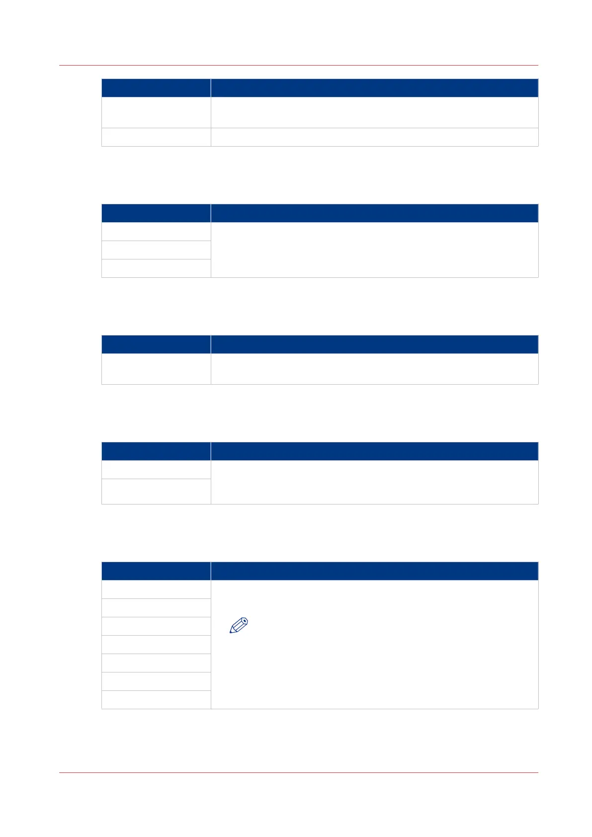
72 Use this setting to define the resolution of the scanned images. The
higher the resolution, the better the image quality.
NOTE
A higher resolution increases the file size.
100
150
200
300
400
600
[File type] (Scan-to-file only)
Setting location: Scan Template 1 to 5.
Océ TC4 scanner: Define the default output quality for copy and scan-to-file jobs
Chapter 3 - Define your workflow with Océ Express WebTools
121
 Loading...