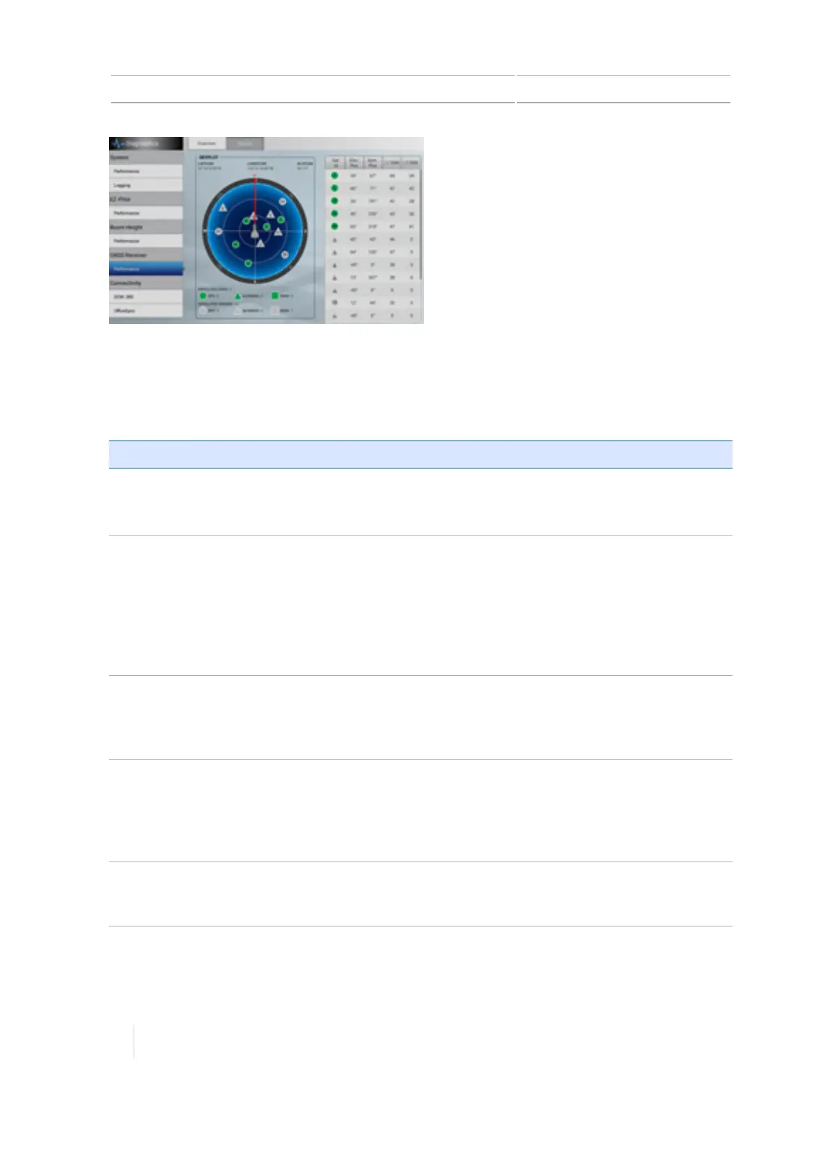
11 Diagnostics / troubleshooting GNSS diagnostics
Troubleshooting
The GNSS positioning method influences the accuracy of the GNSS position reflected in
yourGNSSreceiver. Additionally, the following conditions can affect GNSSaccuracy.
Condition Explanation
Atmospheric effects GNSS signals are degraded as they travel through the ionosphere. The
error introduced is in the range of 10 meters. The error is removed by
using a differential or RTK positioning method.
Number of satellites
used
To calculate a 3D position (latitude and longitude, altitude, and time),
four or more satellites must be visible. To calculate a 2D position (latitude
and longitude, and time), three or more satellites must be visible. For RTK
positioning, five satellites are needed for initialization. Once initialized,
four or more satellites provide RTK positions. The number of visible
satellites constantly changes and is typically in the range 5 through 9. The
receiver can track up to 44 satellites simultaneously.
Maximum PDOP
Position Dilution of Precision (PDOP) is a unitless, computed
measurement of the geometry of satellites above the current location of
the receiver. A low PDOP means that the positioning of satellites in the
sky is good, and therefore good positional accuracy is obtained.
Signal-to-noise ratio Signal-to-noise ratio (SNR) is a measure of the signal strength against
electrical background noise. A high SNR gives better accuracy. SNR can be
degraded by other electronic equipment operating nearby, including
transmitters, cell phones, or data modems. It may also be degraded by
solar flares and changing atmospheric conditions.
Minimum elevation Satellites that are low on the horizon typically produce weak and noisy
signals and are more difficult for the receiver to track. Satellites below the
minimum elevation angle are not tracked.
318 TMX-2050 Display User Guide Version 1.075, Revision C