1 Getting Started
Figure 1
1.1 Prolog
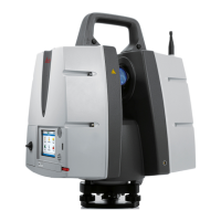
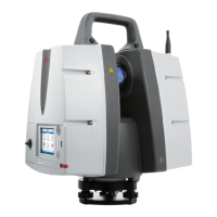
This project was acquired with the Leica ScanStation P40 and consists of 14 Stations in total.
ScanWorlds 2-6 are scans from the inner courtyard of the Blutenburg castle. ScanWorlds 1 and
8-14 are scans of the fortified walls of the Blutenburg castle taken from the outside. ScanWorld
7 was just a test scan and was taken out of the registration project.
The scans from the inner courtyard have been taken with sufficient overlap to allow cloud based
registration with just a minimum of targets as supporting constraints. All scans on the outside
haven been taken with sufficient targets to allow registration this way.
In addition, some targets have been captured with GNSS/TPS to be able to transform the data
into the national coordinate system.
On all Stations additional pictures were taken with the internal scanner camera which were
captured in HDR 1920 x 1920 pixel quality.
The whole project has been imported with the function “Auto Align Scans” enabled. This is a
semi-automatic registration step and designed to save time during the registration process.
Chapter
7.3 Grouping Theory
is going more into detail on this.
The goal of this module is to learn how to choose the right strategy in the registration process
and how to handle and correct typical errors made in the field.
There are various registration techniques which will be explained in detail. At the end, we will
see how the different Grouping functions can aid in the registration process. A global
transformation into a geo-referenced coordinate system will close up our project.
Chapter
7 Theory Excurse
outlines some of the theory behind the already applied registration
techniques.
Please note the flow chart, which will guide you through the typical registration
steps, starting with the field work and ending with the final quality assurance.
The grey shaded arrow indicates the current workflow step within the
registration process.