L ayerscanbeenabledanddisabledfromthe[Layers]settingsmenu:[Menu
>Settings>Layers].
Fordetailsoftheavailablelayersandrelatedsettingsreferto:
p.201—Layerssettingsmenu
Cameratracking
WhenconnectedtoacompatiblePanandTiltThermalcamerayoucantrack
targetsorpointyourcameraataspecifictargetorarea.
2optionsareavailableforcameratracking:
•[Pointcamerahere]—Pointsthecameraataspecificpointonscreen,the
camerawillremainpointedatthisarearegardlessofyourownvessel’s
course.
•[Trackwithcamera]—Tracksaselectedtargetregardlessofyourown
vessel’sortarget’scourse.
CameratrackingoptionsareavailablefromtheContextmenuintheChart
andRadarapps:[Contextmenu>moreoptions>Pointcamerahere],or
[Contextmenu>moreoptions>Trackwithcamera].
Automatictracking
Y oucanusetheCameraappsettingstoconfigureautomatictrackingforAIS,
RadarandMoBtargets:[Cameraapp>Menu>Settings>Cameramotion
>AUTOTRACKING]
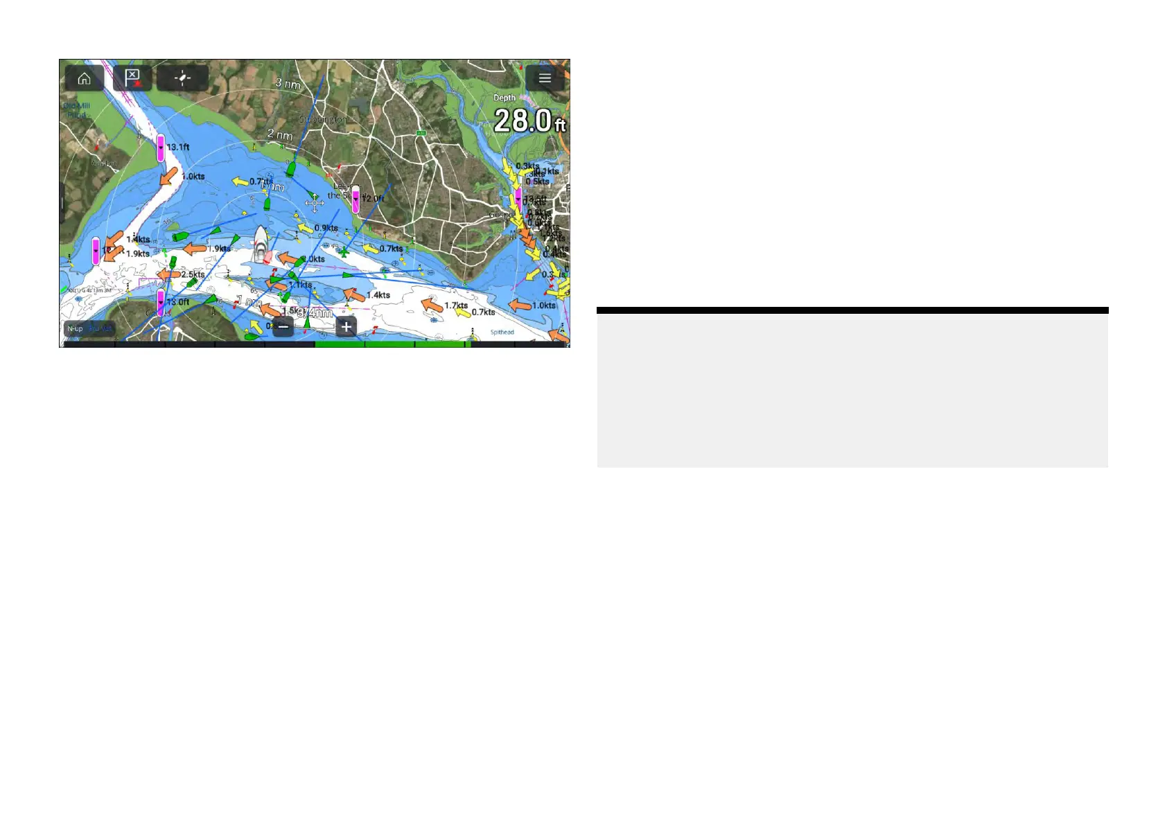
11.3Cartographyoverview
TheChartappincludesabasicworldbasemap.T ousetheChartappfor
navigationpurposes,compatible,detailedElectronicNavigationalCharts
(ENC)orRasterNavigationalCharts(RNC)arerequired.
•RasterNavigationalChart(RNC)—ARasterchartisadigitalimageof
apaperchart,andthereforetheavailableinformationislimitedtothe
informationavailableontheequivalentpaperchart.
•ElectronicNavigationalChart(ENC)—ENCsareVectorbasedchartsand
includeinformationthatisnotavailableonpaperorRastercharts.Objects
andfeaturesonVectorchartscanbeselectedtoobtaininformationthat
otherwisewouldnotbereadilyavailable.Chartobjectsandfeaturescan
alsobeenabledanddisabled,orcustomized.
Note:
•Thelevelofdetailandfeaturesavailableonchartsvarydependingon
vendor,charttype,subscriptionlevelandgeographicregion.Priorto
purchasingcharts,checkthevendor’swebsitetoestablishwhatlevelof
detailisavailableonthechartsyouwanttopurchase.
•Theinformationrelatingtoavailablechartdetailandsettingsinthis
manualshouldbetreatedasguidanceonly,asitissubjecttochange,
whichisnotunderRaymarine’scontrol.
TheChartapprangescalewillaffectthelevelofdetailshownonscreen.
Generally,moredetailisavailableatlowerranges.Thechartscaleinuseis
indicatedbythescaleindicator,thevaluedisplayedisthedistancethatthe
rangescalelinerepresentsonscreen.
Y oucanremoveandinsertchartcardsatanytime.TheMFDwillautomatically
detectcompatiblechartcardsandyouwillbeaskedifyouwanttochange
yourcurrentselection.
Forchartcardselectiondetails,referto:p.201—Cartographysettingsmenu
Differentcartographytypescanbeviewedsimultaneouslyusinganapppage
thatincludesmultipleinstancesoftheChartapp.
Chartapp-General
159

 Loading...


