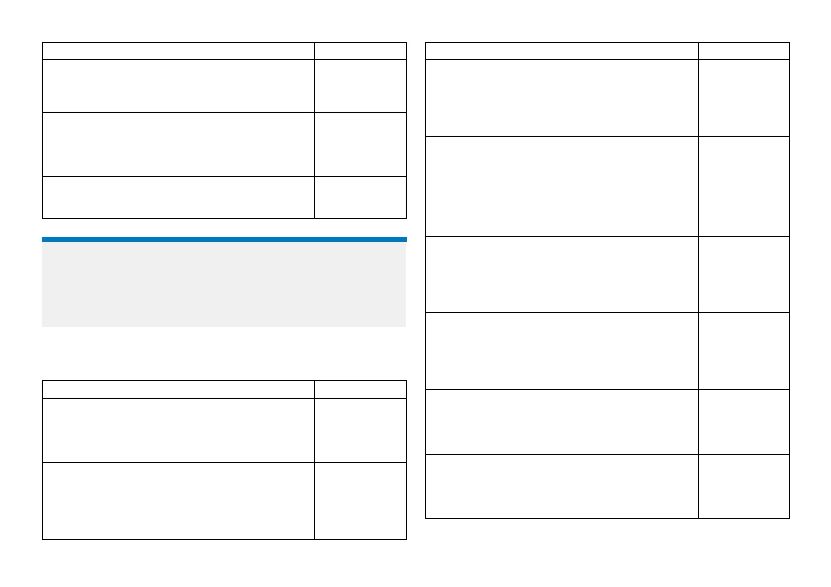
MenuitemanddescriptionOptions
[Marineprotectedareas]
Allowsclearidentificationofareaswherecommercial
andrecreationalfishingisprohibitedorrestricted.
ThissettingisavailablewhenusingC-MAP®charts.
•On
•Off
[FishingA
OI]
EnablesanddisablesthedisplayofFishingAOIs(Areas
OfInterest).
ThissettingisavailablewhenusingLightHouse™and
C-MAP®charts.
•On
•Off
[ActiveCaptain]
Enablesanddisablesthedisplayofcrowd-sourceddata.
ThissettingisavailablewhenusingC-MAP®charts.
•On
•Off
R elatedtopics:
•p.211—Navigatemodesettingsmenus
•p.214—Fishingchartmodesettingsmenus
•p.218—Anchormodesettingsmenus
•p.228—Racingmodesettingsmenus
Depthsettingsmenu
Thedepthsettingsmenucontainsdepthcontourrelatedsettings.
MenuitemanddescriptionOptions
[Showsoundings]
Enablesanddisablesthedisplayofdepthsoundingson
thechart.Whensetto[Manual],depthsoundingswillbe
shownfrom[Zeroto]themaximumdepthyouspecify
.
ThissettingisnotavailableforRastercharts
•None
•Manual
•All
[Showcontours]
Enablesanddisablesthedisplayofdepthcontourson
thechart.WhensettoManual,contourswillbeshown
fromzerotothemaximumdepthyouspecify
.
ThissettingisavailablewhenusingLightHouse™,
C-MAP®andNavionics®vectorcharts.
•None
•Manual
•All
MenuitemanddescriptionOptions
[Shallowcontour]
DeterminesthedepthatwhichtheShallowcontouris
displayed.TheShallowcontourcannotbesettoavalue
greaterthantheSafecontourorDeepcontourvalue
.
ThissettingisavailablewhenusingLightHouse™,legacy
LightHouse™andS-63vectorcharts.
Numericdepth
value
[Safecontour]
DeterminesthedepthatwhichtheSafecontouris
displayed.
TheSafecontourcannotbesettoavaluethatisless
thantheShallowcontourorgreaterthantheDeep
contour
.
ThissettingisavailablewhenusingLightHouse™,legacy
LightHouse™andS-63vectorscharts.
Numericdepth
value
[Shallowarea]
Enablesanddisablesidentificationofareasdeemed
tobeshallow.Whenenabled,aredhatchedareais
displayedinareasshallowerthanthedepthspecified
inthe[Zeroto]field.
ThissettingisavailablewhenusingNavionics®charts.
•On
•Off
[Deepcontour:]
Determinesthedepthatwhichthedeepcontouris
shown.E.g.ifyousetthistoavalueof30meters,
anywaterwithadepthgreaterthan30meterswillbe
displayedasadeepcontour.
ThissettingisnotavailableforRastercharts.
Numericdepth
value
[Depthgradient]
Allowsyoutospecifythegradientshadebetween
shallowanddeep.
ThissettingisavailablewhenusingLightHouse™and
legacyLightHouse™vectorcharts.
•Darktolight
•Lighttodark
[Deepwatercolor]
Allowsyoutospecifythecolorthatwillbeusedto
displayDeepwater.
ThissettingisavailablewhenusingC-MAP®and
Navionics®charts.
•White
•Blue
204
 Loading...


